We specialise in surveys of rivers and coastal areas for the Environment Agency, Local Authorities and Engineering Consultants.

COAST
EDI Surveys has been working with the Environment Agency surveying the East Anglian coastline since 1991 and we are currently contracted to do so for 2016 to 2021 and we are also monitoring the south coast from Chesil beach to Start Point over the same period for Teignmouth DC. We have also carried out similar work in Qatar.

Profiles are surveyed using GNSS at known points along the coast and repeated 2-4 times per year to monitor erosion and deposition. Data is output as TXT files in the clients specified format including SANDS. The raw site data can be used to produce a wide variety of outputs. Other surveys include level grids (typically 5m spacing) and sea defence surveys.
See a typical cross section here
RIVER
The majority of channel surveys consist of detailed cross sections at set intervals (e.g. 100m), detailed elevations of structures crossing or in the channel with their associated channel profiles, a long section showing both bank levels, hard and soft bed levels, water level and structure details and digital data in one or more river modelling formats, e.g. EACSD, Hec-Ras, ISIS and MIKE11. See a typical cross section here
Flow control, flood storage and gauging structure surveys – a detailed record of the exact layout and levels of structures is essential to enable accurate measurement of flow data, storage volumes and trigger levels.
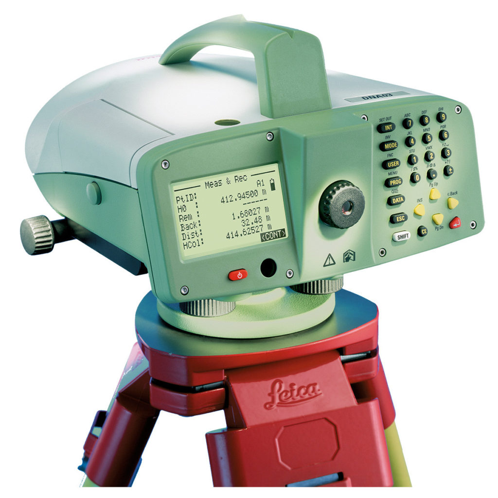
Threshold level surveys – the collection of accurate level data using a digital level for properties in areas that may be at risk of flooding
Fluvial structure monitoring will normally be done by establishing stable off site monitoring datums and attaching monitoring targets to the structure that will move with it – these are then measured at intervals set according to the expected movement and the criticality of the structure.
Flood risk assessment surveys – we can provide a detailed level or topographic survey for any site with levels which will be acceptable to the Environment Agency and other public bodies.

